 Here are some of our favorite trails, listed in no particular order. These are the trails where we go before work or on our days off. We’ve tried to include a few you won’t find in any trail guide, but are local favorites. The descriptions that follow are just a starting point for inspiration. When you head out, be sure to take a map, know where you’re going, and how to stay safe. Some trails are marked, some aren’t. Some have bears and mountain lions. This is good stuff, but please don’t hold us accountable if you get eaten or fall off a cliff. Hike and run safely and take care of yourself out there. And don’t hesitate to stop into Cascades Outdoor Store if you need more info, a map, guidebook, or just to tell us how your hike or run was.
Click on the trail name below for trail description.
WASHINGTON PASS/RAINY PASS AREA
Maple Pass: Distance: 7 mile loop Elevation Gain: 2,100 feet
Blue Lake: Distance: 4.4 miles round trip Elevation Gain: 1,050 feet
Cutthroat Lake (see also Cutthroat Pass): Distance: 4 miles round trip Elevation Gain: 400 feet
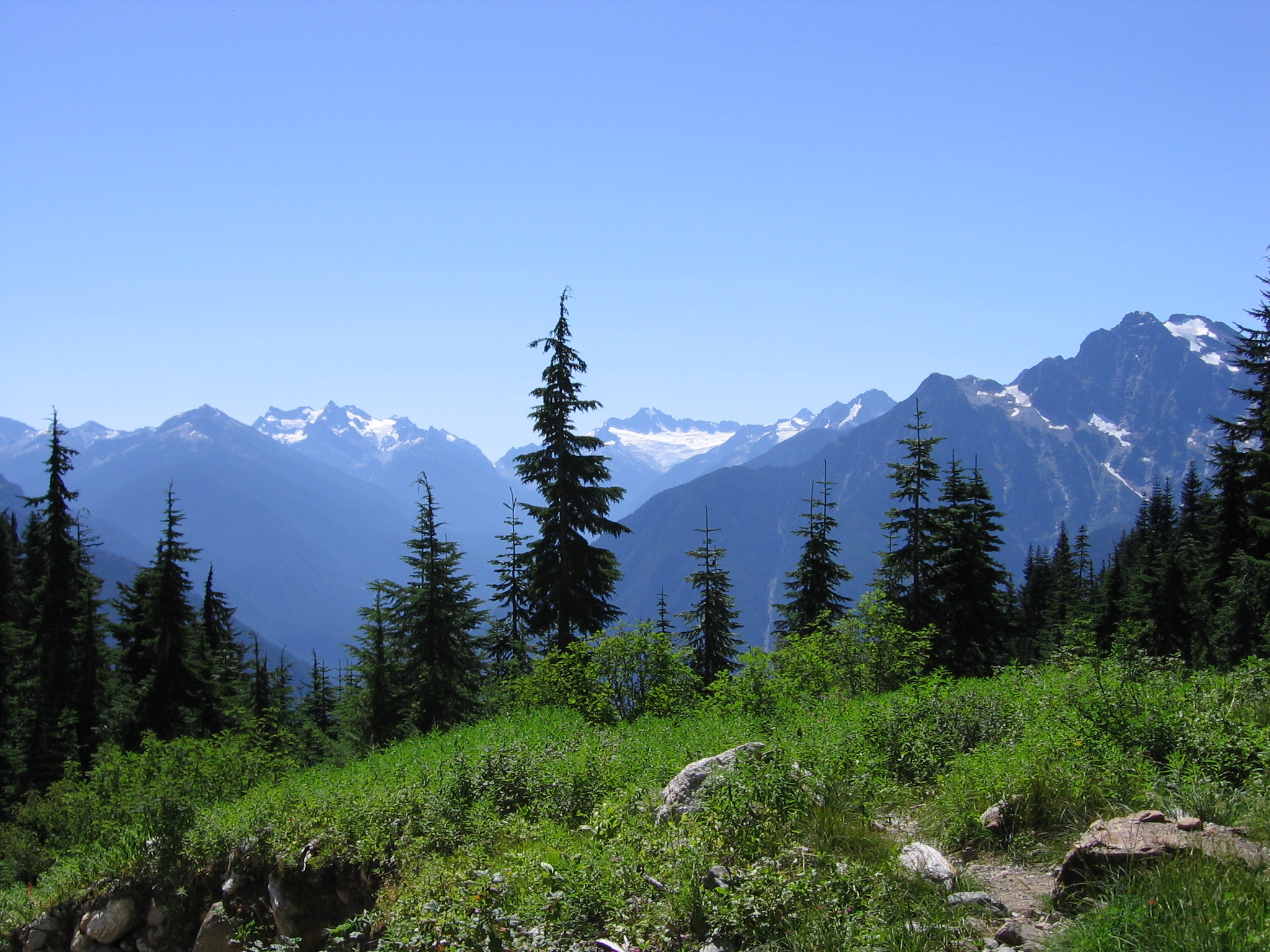
Cutthroat Pass: Distance: 11 miles round trip Elevation Gain: 2,300 feet
Copper Pass: Distance: 8 miles round trip Elevation Gain: 2,355 feet
Stiletto Peak: Distance: 11 miles round trip Elevation Gain: 3,792 feet
Driveway Butte: Distance: 9 miles round trip Elevation Gain: 3,200 feet
WINTHROP & SUN MOUNTAIN AREA
Lewis Butte: Distance: 2.4 miles round trip Elevation Gain: 1,200 feet
Riser Lake: Distance: 4 mile loop Elevation Gain: 524 feet
Patterson Mountain: Distance: 4 mile loop Elevation Gain: 1,100 feet
Raider Creek/Patterson Lake Loop: Distance: 4.7 miles Elevation Gain: 600 feet
Black Bear/Winthrop Trail Loop: Distance: 7 miles (w/11.5 mile option) Elevation Gain: 900 feet
Buck Mountain: Distance: 13 miles Elevation Gain: 2,200 feet
Pipestone Canyon Out & Back: Distance: 6 miles round trip Elevation Gain: 600 feet
Pipestone Canyon & Ridge Loop: Distance: 9 mile loop Elevation Gain: 1,850 feet
MAZAMA AREA
Goat Creek Loop: Distance: 6 mile loop Elevation Gain: 325 feet
Suspension Bridge Trail: Distance: 1.2 miles Elevation Gain: 7 feet
